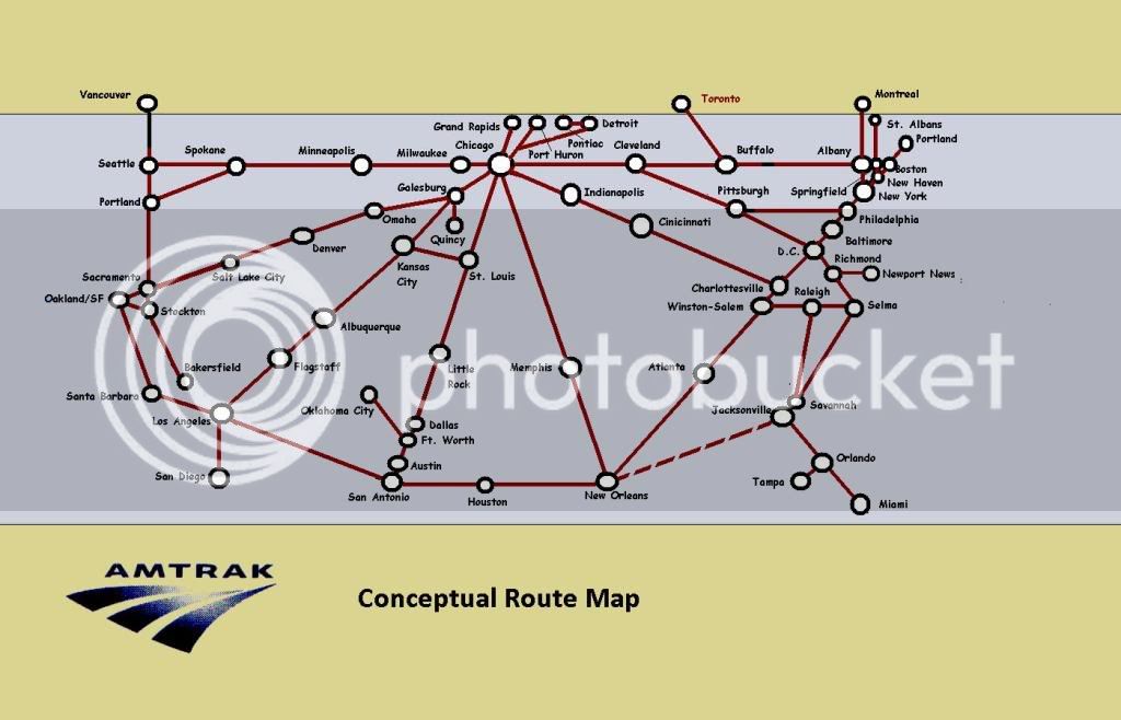
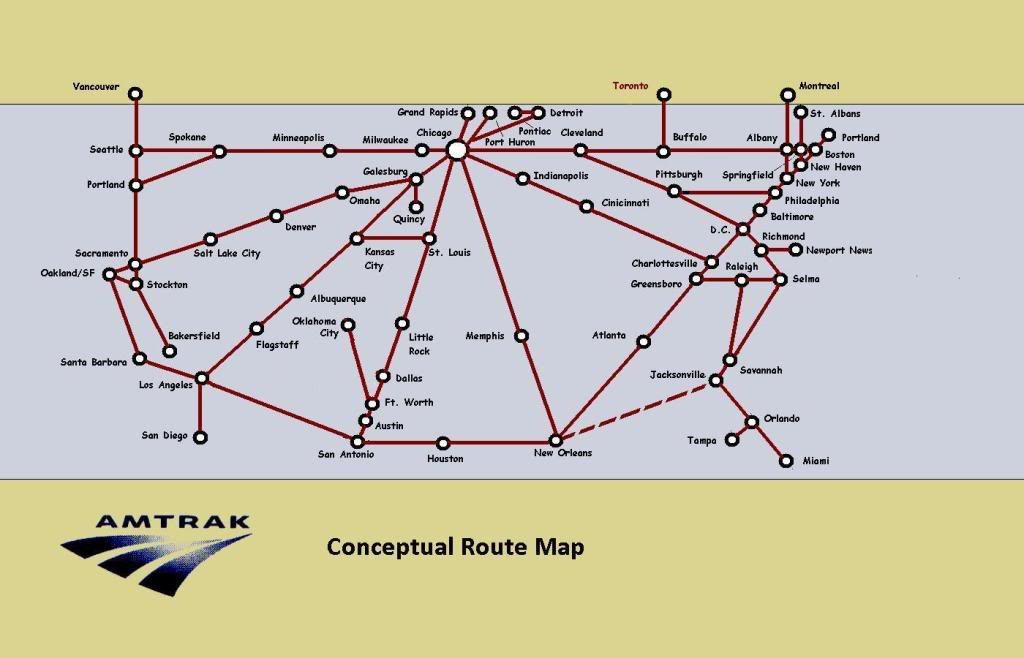
Keep in mind that Amtrak can only run what Congress allows them to run. If they don't have the money, they will cut the lowest performing trains that run through the middle of their system. Cutting the Desert Wind and Pioneer was not ideal, but cutting the SWC or CZ would have been worse. They had to cut something- it was a zero sum game.
That being said, I have heard rumors that Montana, Washington, and Idaho has discussed funding a revived North Coast Hiawatha, Idaho and Oregon have discussed a revived Pioneer, and I'd say that if the Pioneer and NCH came back, the equipment order needed would also bring back the Desert Wind. None of this is beyond the informal discussion stage, as far as I know.
Further along is extending the Heartland Flyer to Newton. I have heard that if a LD bi-level equipment order is placed, and that extension occurs, Amtrak intends to experiment with the possibility of running through coach and sleeper cars from the Flyer to the Southwest Chief. Since it is not intended to be funded, the through cars would have to be profitable. I'm confident the sleeper will be. It may end up only being a through sleeper.
Also keep in mind the modifications to the midwest trains.
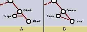
Lastly, while this doesn't correspond to what you were mentioning, I have heard two other major changes. One, a restored "Broadway Limited" (perhaps a different name), is almost a guarantee, although it might follow the same route as the CL west of PGH. Two, a restored Silver Palm, with three distinct routes in Florida, (A, S, FEC).
So, and excuse me the liberty of butchering your map, 2020 oughtta look a bit like
THIS MAP!
At least if all the reasonable rumors I have heard come true.


") I've never had the pleasure of riding the TE. I am a west coast/east coast person, and don't spend much time in between except on Amtrak!
I've never had the pleasure of riding the TE. I am a west coast/east coast person, and don't spend much time in between except on Amtrak!