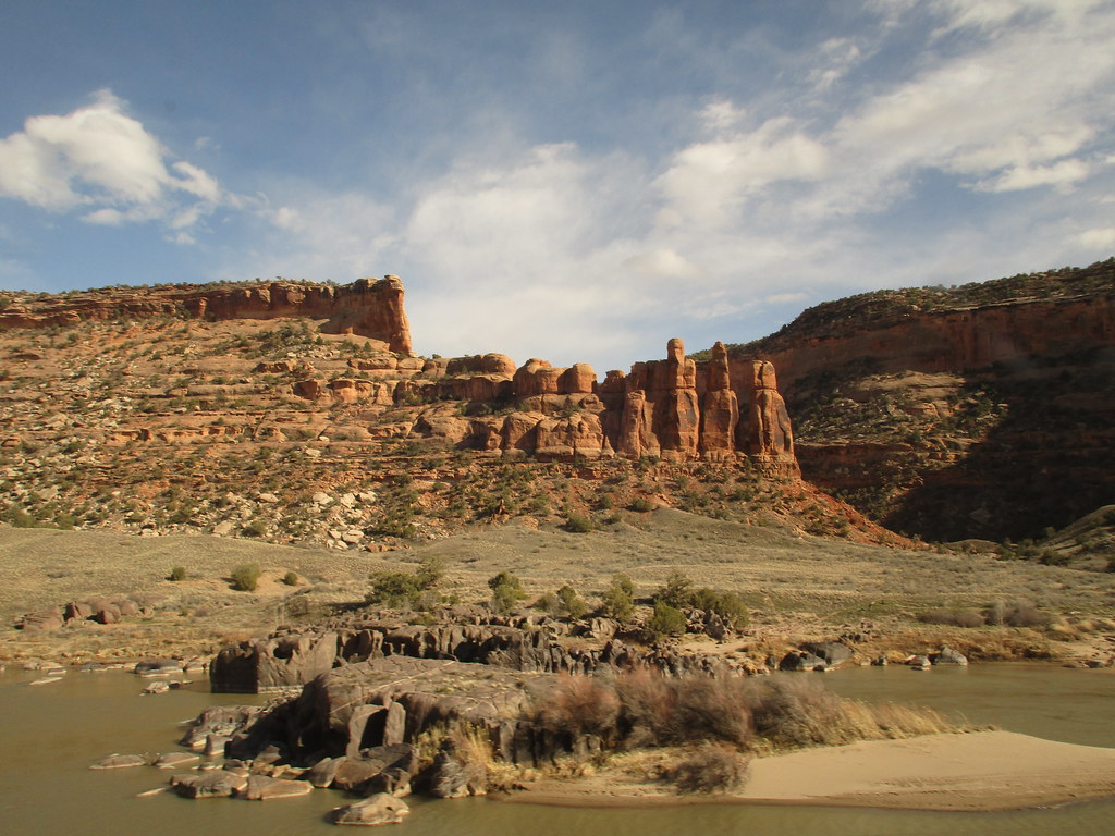
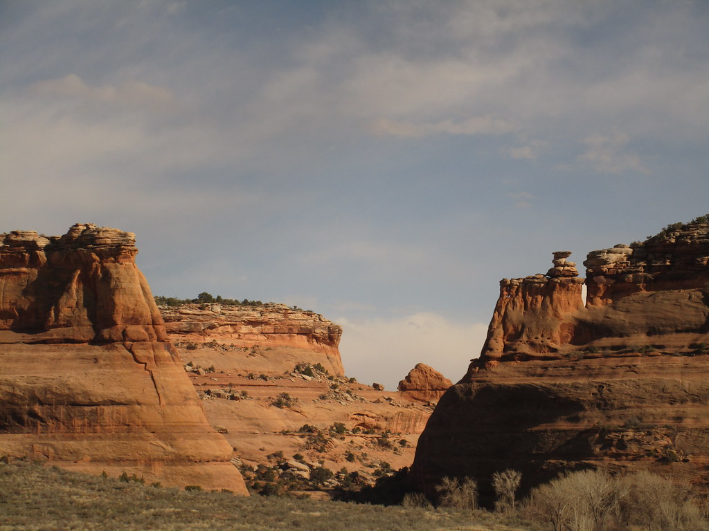
I’ve been on the California Zephyr before - once between Denver and Glenwood Springs on the normal route, and another time between Sacramento and Chicago via the Wyoming detour. This leaves Glenwood Springs to Salt Lake City as the only segment I’ve never taken (I did the Sacramento-Emeryville segment on the Capitol Corridor). As I’m planning a trip to Glenwood Springs in late May/early June, I figured this may be a good opportunity to ride that segment.
Anyway, I’m curious - how is the scenery on this segment of the route compared to Denver-Glenwood Springs (which was amazing when I took it)? Would you usually see much (if any of it) in daylight during late May/early June? I’d be going out of my way to take it (as I’m coming from the east), and as such am wondering if it would be worth dealing with the late arrival time and going out of my way to see it (and flying home, as doubling back on the train is more time/money than I’d like to spend).
Anyway, I’m curious - how is the scenery on this segment of the route compared to Denver-Glenwood Springs (which was amazing when I took it)? Would you usually see much (if any of it) in daylight during late May/early June? I’d be going out of my way to take it (as I’m coming from the east), and as such am wondering if it would be worth dealing with the late arrival time and going out of my way to see it (and flying home, as doubling back on the train is more time/money than I’d like to spend).