jis
Permanent Way Inspector
Staff member
Administator
Moderator
AU Supporting Member
Gathering Team Member

https://bdnews24.com/economy/2018/03/11/third-span-of-padma-bridge-installed
The Padma Bridge is being built spanning the Padma River. This channel carries most of the water flowing down both the Ganges and Bramhaputra draining all of North India and the Tibet plateau, essentially all the water that carries down from the Himalayas east of Simla. Allegedly, it has a greater flow, specially during Monsoon, than any single channel of even the Amazon in its estuary. Padma at this point (a rather narrow portion of it) is a bit over 6km (about 4 miles) wide and more than 100m (~325 feet) deep in places, with unusually rapid flow so close to the sea, and rapidly moving sedimentary formations.
The main bridge consists of 41 spans 150m each (almost 500') carrying one (160kph/100mph passenger 120kph/75mph freight) rail track in a run through truss with planned capacity of 40 train per day initially going up to 4tph eventually after electrification, and a deck above the truss carrying a four lane highway. Each of the 42 pylons sit on piling driven into the river bed as much as 400m ((1,300') below the bed. The bridge is designed to withstand earthquakes of upto magnitude eight.
Upon completion of this bridge and the related railroad connection to Jessore, travel time from Kolkata to Dhaka will go down to below four hours (from the current 8+ hours).
If things stay on course it will come in at the third most expensive bridge in the world. The project is currently funded about 2/3rds by China through a loan and 1/3rd by Bangladesh.
Incidentally it is likely that the 4th through 6th span at the south end of the bridge will go up within the next couple of months. The they wills tart installing spans on the north end while the redesigned pylons to account for clay at the bottom of the river are constructed mid river.
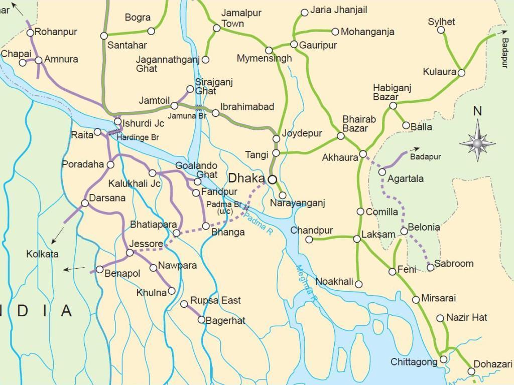
A betting man would guess that the bridge structure may be completed and ready for use by late 2019. The initial rail connection to India from this bridge will be via Bhanga - Faridpur - Kushtya (near where it joins the current route of the Dhaka - Kolkata service via the Gede border.
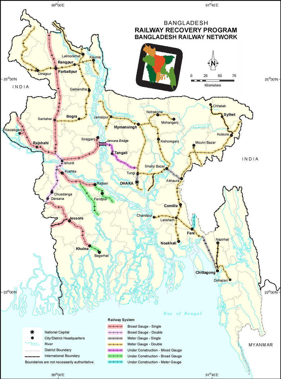
For reference, here is a map:

Last edited by a moderator:


