Trains in the middle of freeways

Amtrak Unlimited Discussion Forum

Help Support Amtrak Unlimited Discussion Forum:

This site may earn a commission from merchant affiliate links, including eBay, Amazon, and others.
Status
Not open for further replies.

DET63

Conductor
Joined
May 6, 2009
Messages
1,777
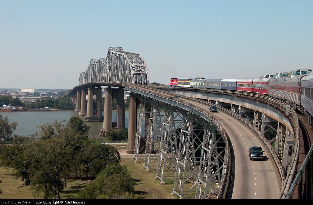
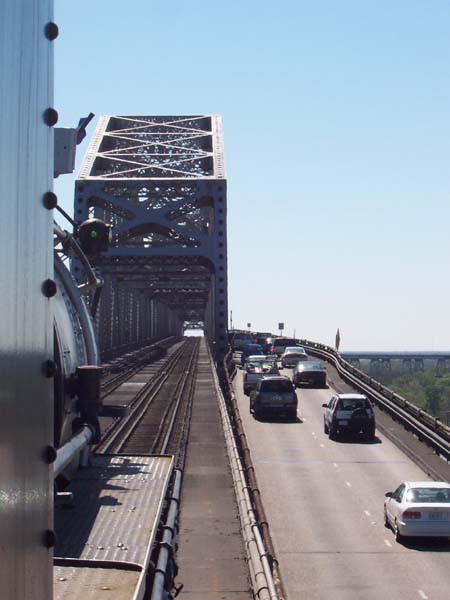
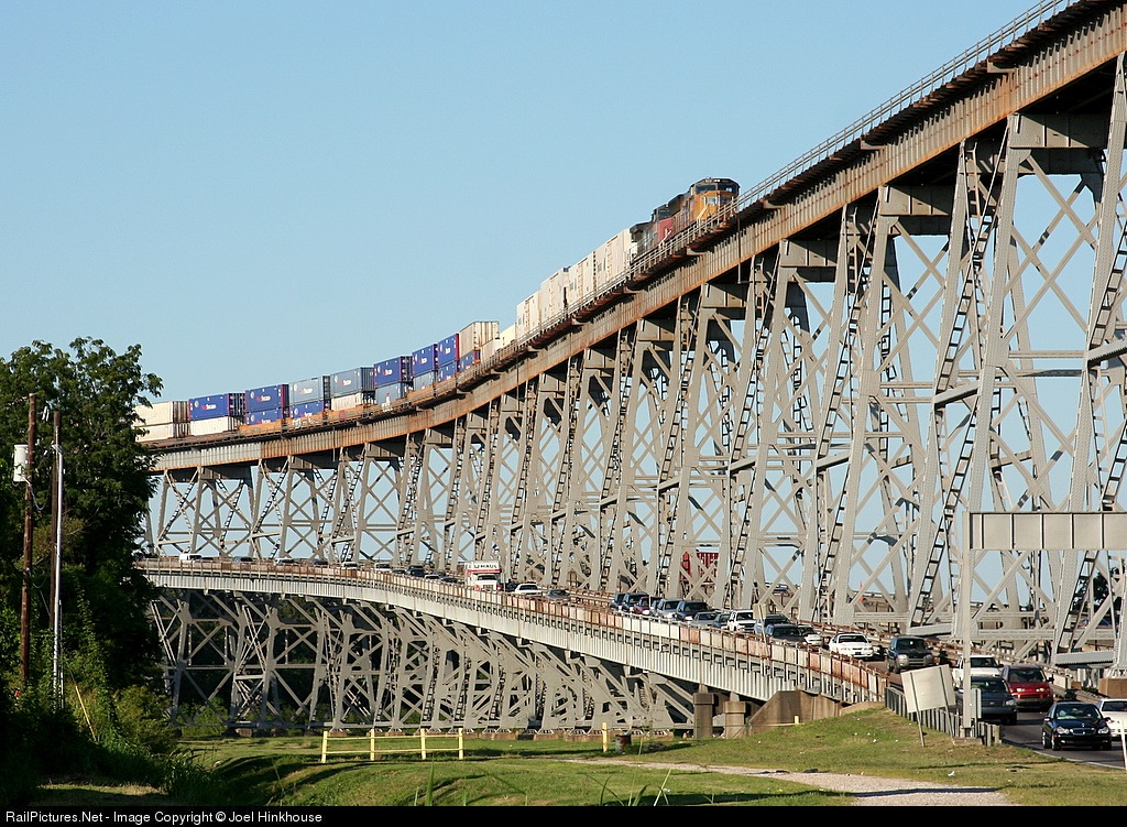
For a couple of miles between Kalama and Woodland, WA (neither of which are station stops for Amtrak), Amtrak (and UP and BNSF freight) trains run in the I-5 median. This means you can look out the right window and watch cars traveling along the freeway a few feet away from the train. (This is easier to do going n/b, since I believe the track is closer to the freeway lanes on that side.) I believe the Pioneer used to run for a short distance in the I-84 median in the Columbia Gorge.

Are there other places on the Amtrak system (as opposed to subways or other rapid-transit or commuter-rail systems) where the train travels or used to travel on the median of a freeway?
 
I know that some Amtrak trains used to use the Gold Line ROW in Pasadena, CA, but did they also use the 210 freeway median? http://www.railpictures.net/viewphoto.php?...667&nseq=18
In Southern California, Metrolink trains travel in the median of Interstate 10 for a short stretch. It's not Amtrak but it's something. http://www.railpictures.net/viewphoto.php?...1822&nseq=3

The 210 median is currently used by MTA Gold Line light rail trains.

The 10 freeway median is used by Metrolink's San Bernardino Line, however, sometimes the Sunset Limited uses that route also.

Othewise, the Sunset Limited has the choice of using UP's Alhambra Sub from Los Angeles t El Monte, or this "former State Street" line

down the median of the 10 freeway. On a side note, the speed limit down the 10 freeway is a full 79, nice to blast by the cars that may be moving

15-20 mph during rush hours!
 
I *think* there is a brief portion of Highway median type running on the Atlantic Coast services south of Richmond, VA. I seem to recall something of this nature lasting all of 2-3 minutes before diverging.
 
In Austin the Texas Eagle runs in the median of the MoPac freeway just north of the station for a few miles. Of course we know MoPac was named after the Missouri Pacific Railroad. I wonder how many drivers know that?
 
In Austin the Texas Eagle runs in the median of the MoPac freeway just north of the station for a few miles. Of course we know MoPac was named after the Missouri Pacific Railroad. I wonder how many drivers know that?
There are so many new people here in Austin that perhaps you and I are the only ones who know this Chris! :lol: As the previous poster said it's neat to highball past the log jam traffic and see the look on the facesa of the drivers that don't realize a railroad runs down the middle of their freeway!

I think they probably believe that MOPAChas something to do with the Pacific Ocean where most of them came from! :lol:

Hope youre having a great Thanksgiving, Im sure youve seen all the posts on the Eagles, Im glad so many care about "our" train! :)
 
In Austin the Texas Eagle runs in the median of the MoPac freeway just north of the station for a few miles. Of course we know MoPac was named after the Missouri Pacific Railroad. I wonder how many drivers know that?
There are so many new people here in Austin that perhaps you and I are the only ones who know this Chris!
Here is some trivia for ya: When the City of Austin started planning the a north-south road on the east side of Austin, it was to be considered a sister road to the MoPac. Somehow, it was aligned with the old Missouri-Kansas right of way, hence the name ---- MoKan.

Yep, Austin would the have the MoPac and the MoKan. (The east highway was never built as proposed, instead, an unnamed toll-road now exists there.)
 
My FAV is the MoPac too. I used to commute via that route often when I lived in Austin. Wish they'd still run trains thru downtown though....... kinda like the new commuter rail is almost gonna do from the East...
 
Not totally in the median, but the Fort Worth station sits at the interchange of I-35W and I-30. As #21 and #22 pass through Tower 55, they pass above and below the highways.

TOWER 55, Fort Worth, TX

Not AMTRAK, but the Washington METRO Orange Line runs in the median of I-66 from a little west of Rosslyn out to Vienna/Fairfax. Some stations are in the median as well.

Wash METRO Orange Line is the underground exit westbound, pan left for more.

Not AMTRAK, but the Chicago CTA line to O'Hare airport runs median of I-90 for a ways.

Chicago CTA O'Hare
 
Last edited by a moderator:
I *think* there is a brief portion of Highway median type running on the Atlantic Coast services south of Richmond, VA. I seem to recall something of this nature lasting all of 2-3 minutes before diverging.
Correct! All southerly Amtrak trains out of Richmond not going to NPN run in the median of I-195 (the feeder to the Powhite Parkway) for about 2 miles (see map below) before diverging to run parallel to route 76/195 as it crosses the James River on a pretty dramatic trestle.


Here's a shot of the run on my last trip on the Silver Star this past October:


And just to add a couple of subway mentions:

The DC Metro's Orange line runs in the median of I-66 between Ballston and Vienna

The Baltimore Metro runs in the median of I-795 between Old Court and Owings Mills.

-Rafi
 
Last edited by a moderator:
One of the LA median runnings (I forget which freeway) was used years ago (in the 1990's :lol: ) by the SWC. The Desert Wind ran from San Bernadino to Fullerton to LAX. The SWC ran from San Bernadino to Pasadena to LAX.

IIRC, the Surfliners do some median running somewhere between LAX and SAN.
 
Our Louisiana friends must be taking a holiday (imagine that, today!), for no one has mentioned the Huey P. Long bridge! For the railroad, this bridge is miles long, with an extremely long lead-up to the river on each side. But as the river draws near, the highway rises to meet the railroad and splits to surround the train on the central portion of the bridge. Here are some photos that show this well, though you might notice that none of them show Amtrak trains. Sadly Google Image Search turned up nuthin' for that, because the photographers all showed up at the bridge on days the Sunset Limited wasn't running :p

7963.1131728400.jpg


WHJonHPLong2.jpg


6002.1159790400.jpg
 
Last edited by a moderator:
The Pacific Surfliner route is in the median of I-5 (San Diego Freeway) for a little over one mile in Camp Pendleton just north of Oceanside.
 
With the new bridge for n/b traffic on I-680 between Martinez and Benicia, CA, trains crossing the railroad bridge are effectively in the median. Of course, this isn't obvious to either train passengers or to motorists, since the railroad bridge is much lower than the freeway spans.

Although they're not Amtrak tracks, there are several miles of BART running in the median of CA 24 and I-580.
 
I know that some Amtrak trains used to use the Gold Line ROW in Pasadena, CA, but did they also use the 210 freeway median? http://www.railpictures.net/viewphoto.php?...667&nseq=18
In Southern California, Metrolink trains travel in the median of Interstate 10 for a short stretch. It's not Amtrak but it's something. http://www.railpictures.net/viewphoto.php?...1822&nseq=3
The Sunset Limited used to stop at the Pasadena Station before the 210 was built. The route was changed sometime before the 70's, but freights continued to use it until the late 70's. The tracks were torn out in the late 80's and then about ten years later reinstalled to Rosemead Blvd near San Gabriel for the Gold Line.
 
... Pasadena Station ... The tracks were torn out in the late 80's.
:huh:

I took the SWC from NDL to LAX in the mid 90's, and rode on that track. I didn't move to that area until 1994! I'm not sure if it stopped in Pasadena, but I remember at least passing the station!

So if the tracks were torn out in the late 80's, what did the SWC run on? :huh:
Maybe it was in the early 90's, but they definitely ripped them out, I used to drive it every day and lamented that they were doing it.

I just found it, 1993.
 
Last edited by a moderator:
There aren't any other places I can think of off the top of my head that haven't already been mentioned as far as medians go. But I can think of a few places where interstates and tracks parallel each other and make for good pacing. I-95 and the South Florida Rail Corridor in several spots, I-495 and the Northeast Corridor in Delaware, I-89 and the NECR between Waterbury and Essex Jct...
 
The south end of the freeway-median running referred to in the OP is at an interchange with Dike Access Road, meaning there are several layers of roads and railroad at what would otherwise be a fairly simple diamond interchange.
 
... Pasadena Station ... The tracks were torn out in the late 80's.
:huh:

I took the SWC from NDL to LAX in the mid 90's, and rode on that track. I didn't move to that area until 1994! I'm not sure if it stopped in Pasadena, but I remember at least passing the station!

So if the tracks were torn out in the late 80's, what did the SWC run on? :huh:
Maybe it was in the early 90's, but they definitely ripped them out, I used to drive it every day and lamented that they were doing it.

I just found it, 1993.
I still don't believe that date! I got hired for my job in AZ in October 1994, but I was in training until January 1995. So I couldn't have taken the SWC from NDL to LAX until at least 1995 or 1996. And I do distinctly remember going down the median of the freeway and passing the Pasedana station!

I got a ride to NDL (for a 2 AM train) by a co-worker! Now that's a friend! :lol:
 
Agreed - now it does! But in the 1990's, the SWC went via Pasadena on the IIRC I-10 route and the Desert Wind went via Fullerton on the 91 route. (I took both routes - sometimes on the same day! :p )
It's time for you to pull out a map out of your bookcase. It wasn't I-10, it was I-210. I do remember that the bridge over I-210 was removed years ago.
 
Status
Not open for further replies.
Back
Top